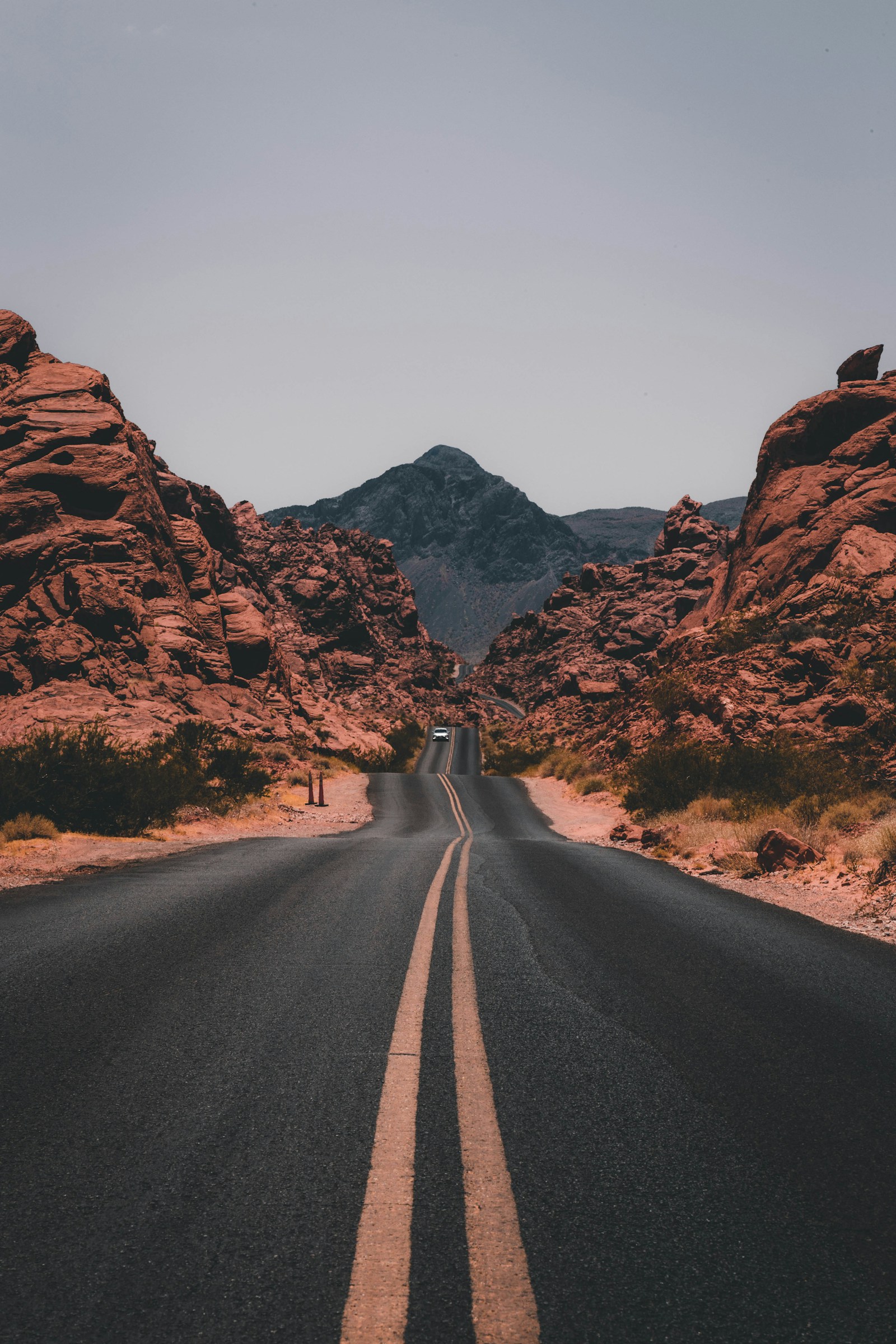
Mount Kadam
Eastern Uganda shield volcano—remote trails and views toward Kenya’s border highlands
Explore more Uganda mountains or return to the Uganda hub.
Ask a plannerWhy Mount Kadam draws trekkers
Kadam is far less visited than Elgon or the Rwenzori—trekking is community-organised in parts; ideal for slow-travel extensions after Mbale or northern circuit research trips.
This guide sits under Uganda mountains—trekking and highland scenery distinct from our national park fee tables where routes overlap UWA land. Always confirm current ranger rules, community trail fees, and security briefings locally.
Seasons, fitness, and altitude
Dry-season windows (roughly December–February and June–September) help on muddy tracks, but Mount Kadam can still see hail, fog, and sudden cold above 3,000 m. Build acclimatisation days, hire local guides where mandatory, and carry waterproof shells year-round.
Pair highland legs with lowland savanna recovery—many itineraries drop from Rwenzori or Elgon to Queen Elizabeth or Lake Bunyonyi for sleep and oxygen.
Planning support
Contact our planners for porter-inclusive trekking quotes, private vehicle timing from gateway towns, and realistic rest days after international flights.
Return to all Uganda mountains or the Uganda hub.