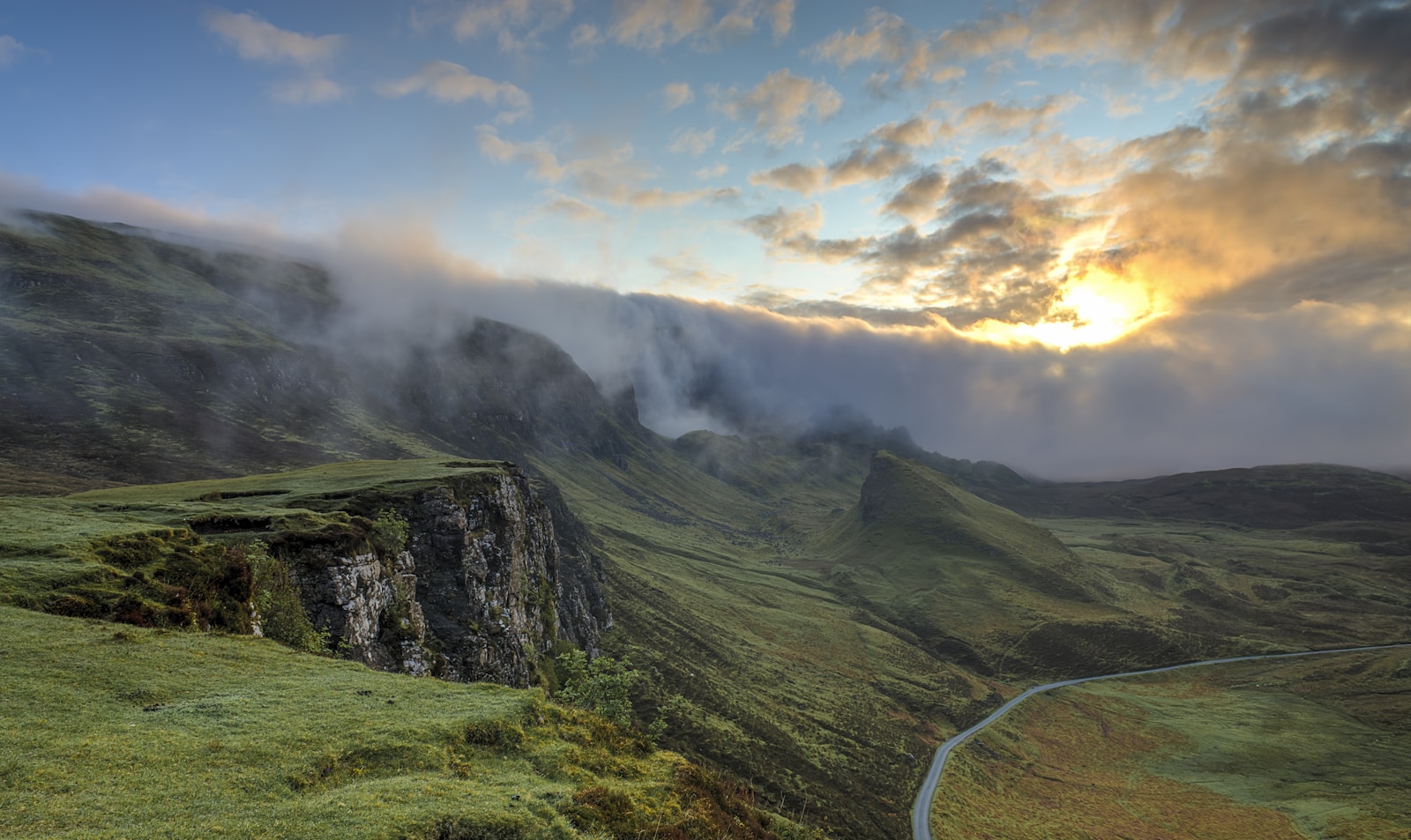
Mount Muhabura (Muhavura)
Steep cone on the Uganda–Rwanda line—360° views and a small crater lake at the top
Explore more Rwanda mountains or return to the Rwanda hub.
Ask a plannerWhy Mount Muhabura (Muhavura) draws trekkers
Muhabura is shared administratively with Uganda’s Mgahinga—Rwanda-side ascents demand border-aware briefings; fewer daily slots than Bisoke but dramatic photography when clear.
This guide sits under Rwanda mountains—Volcanoes National Park trail logistics overlap our Volcanoes park page; confirm ranger assignments, weather aborts, and border-aware guides with RDB-licensed operators.
Seasons, fitness, and altitude
Drier months (roughly June–September and December–February) help with mud, but Virunga slopes stay slick—gaiters, poles, and porter ethics matter year-round. Build acclimatisation in Musanze before overnight Karisimbi bids.
Compare with Uganda mountains when stitching Mgahinga or Rwenzori extensions.
Planning support
Contact our planners for porter-inclusive quotes and realistic rest days after international flights.
Return to all Rwanda mountains or the Rwanda hub.